GeoPlot & Cartopy
GeoPlot is an extension of Cartopy and Matplotlib to create maps with minimal efforts.
When creating maps, there are a large number of possible projections. The article below explains how to modify them.

Change projection in maps
Folium for google maps style maps
Folium is a wrapper of the leaflet.js javascript library. It allows to make all the data wrangling with python, and benefit the power of javascript for interactive data visualization.
The map below has been created with folium... with 1 line of code only! 😍
Folium allows different types of background tiles. Here is an example with a tile called Cartodb Dark Matter:
It is also possible to add markers with associated popups on top of the map:
Background map with Basemap
Seaborn is another great alternative to build an area chart with python. The below examples show how to start basic, apply usual customization, and use the small multiple technique for when you have several groups to compare.
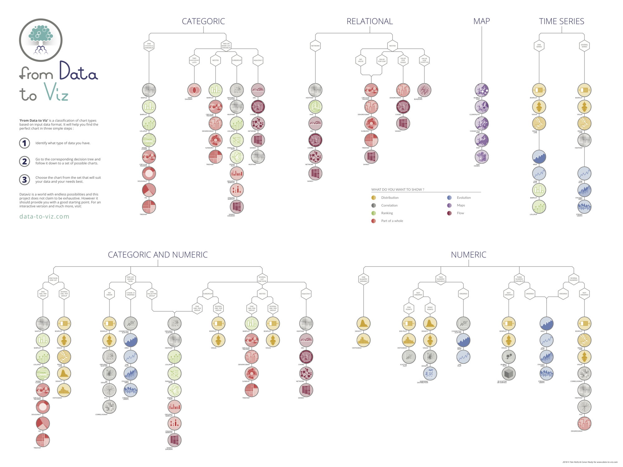
🚨 Grab the Data To Viz poster!
Do you know all the chart types? Do you know which one you should pick? I made a decision tree that answers those questions. You can download it for free!


