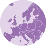
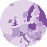
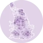
Hexbin Map


A hexbin map is a specific type of map where each region is represented as a hexagone. This section explains how to build a hexbin map with python and libraries like geopandas and geoplot.
Hexbin map from geospatial object
Seaborn is another great alternative to build an area chart with python. The below examples show how to start basic, apply usual customization, and use the small multiple technique for when you have several groups to compare.


This is what you get with a bit of matplotlib tweaking:


🚨 Grab the Data To Viz poster!
Do you know all the chart types? Do you know which one you should pick? I made a decision tree that answers those questions. You can download it for free!
